
Pirin National Park: Vihren, Trails & Lakes
Pirin National Park: the Vihren hut road closure, UNESCO peaks, 27 marked trails, glacial lakes and Bansko visitor centre hours.
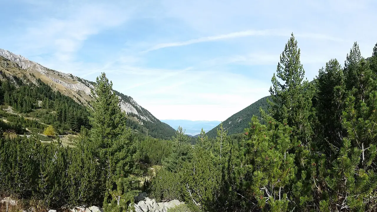
One fact reshapes a Pirin day more than any other, and it sits on a single mountain road: the drive up to Vihren hut is closed to private cars for most of the hours you would actually want it. In summer the stretch from Shiligarnika to the hut shuts daily, 08:00 to 16:00. In winter the same stretch closes round the clock for four months, and a second order can shut the road below it as well once the ski car parks fill. Bansko municipality reissues these orders every season - four of them in the 2025/26 cycle alone, plus one-off event closures - so treat the mechanism as permanent and any set of dates as temporary. Sort your transport first, and the rest of the park - a UNESCO-listed massif of glacial lakes and 2,914 m ridges above Bansko - falls into place around it.
Bansko is the base in both seasons, but the summer park and the winter ski area are effectively two different places sharing a postcode: the protected core sits deliberately apart from the developed pistes. Come between July and early September for lakes and ridges. The other half of the year is on the Bansko skiing page.
The Vihren hut road, and how to get up it anyway
Treat this as a standing mechanism rather than a set of dates to memorise. The dates are reissued every season; the shape of the rule is what survives.
In summer it’s a daily window, not a closure. The municipality bars private vehicle movement and parking from Shiligarnika (the first car park) up to Vihren hut, every day, 08:00 to 16:00. In 2025 that ran 14 July to 15 September; in 2026, 10 July to 15 September - same hours, a few days’ difference at the front end. The order exempts emergency services, police and fire, utility and infrastructure crews, municipal vehicles, the park directorate, mountain rescue, the scheduled Bansko-Vihren hut bus and taxis licensed by Bansko municipality; deliveries get through for loading and unloading against a pass from the municipality. The hut is never cut off. What’s ruled out is your own hire car in the middle of the day.
In winter it’s stricter, not looser - and this is the part that catches people. Assume “outside 08:00-16:00 the road is open” and you’ll be wrong for four months of the year. For 2025/26 the upper stretch was shut from 12 December to 12 April with no hourly window at all: the order invokes the roads-act provision that applies specifically to closures lasting more than eight hours, which is about as clear as a document gets about not being a daytime rule. It was later extended by a day.
There’s also a second winter order most visitors never hear about, covering the road below Shiligarnika - from the junction of ul. Pirin and ul. Peshterite up to the car park. From 24 December that stretch could be closed too, 08:00 to 13:00, extendable by the police to no later than 16:00. It isn’t automatic: it triggers when the ski-zone car parks fill and the operator notifies the municipality. In practice a busy January morning can stop you well before you reach the point where the other closure even begins.
The hut bus is the way round all of it. Bansko municipality runs a scheduled line from ul. Akad. Yordan Ivanov, in front of the railway station, up through Shiligarnika to Vihren hut: 8 EUR one way, about 50 minutes, three runs a day in season - 1 June to 30 October in 2026 - and nothing outside those dates. It goes up at 08:30, 13:20 and 17:00 and comes back down from the hut at 09:30, 14:20 and 18:00, and the season is deliberately wider than the closure window. One warning: a 2024 news release that half the internet still copies lists an 18:00 departure from Bansko. It doesn’t exist - 18:00 is the last bus down from the hut. Go by the timetable on the municipality’s tourism portal, not by the news write-ups.
So: in summer, either be parked above Shiligarnika before 08:00, take the hut bus, or walk up from the lower car park with the extra time built into the day. In winter, plan on not driving up at all. And check before you go rather than trusting last season’s dates - the municipality publishes each order as it’s signed and runs a traffic-light road-status indicator on its home page. Between seasonal orders and one-off event closures, a bike festival in July or a snowboard World Cup weekend in January, this road changes status more often than any article can keep up with.
What the park protects, and what needs a permit
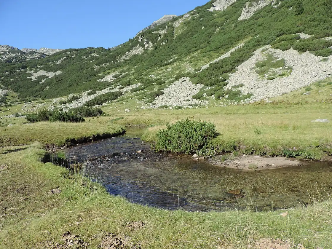
UNESCO inscribed Pirin in 1983 and extended the property in 2010; it now covers 38,350 hectares rising to 2,914 m at Vihren, with more than 70 glacial lakes in the cirques. The listing is about the glacial scenery and landforms - the cirques, the deep valleys, the lakes - and a working Balkan upland ecosystem.
There’s no gate ticket for an ordinary hiker. What the directorate does regulate is organised commercial activity and filming, through permits issued by park section, with the approved issuers published on the directorate’s site. If you’re arriving with a drone and a shot list, ask first. Everyone else starts at a trailhead and an information board.
Trails, lakes and how hard the day gets
The current directorate site counts 27 marked pedestrian trails, numbered 1 to 27, with a combined length it puts at several hundred kilometres. If you find an older list of 22 routes in Roman numerals, you’re reading the directorate’s retired website - the directorate reworked the list when it moved sites, and the retired page is still the one most travel articles quote.
Marker colours tell you which path you’re on, not how hard it is. The chain of huts on the main route, its place in the European E4 path and how Pirin compares with Rila and the Rhodopes are laid out on our hiking in Bulgaria page. What belongs here is how long the walking actually takes.
The directorate publishes leg times for the main route, and they’re sobering: Predel hut to Yavorov hut 6 hours, Yavorov to Vihren hut 9, Vihren hut to the Tevno Lake shelter 6.5, Tevno to Pirin hut 4, and Pirin hut down to Popovi Meadows 8. That is roughly 33 hours of walking over the 47 km of E4 inside the park - a multi-day traverse with hut nights, not an ambitious weekend. Most visitors take a much smaller bite, and the Bansko side is where they take it: the walk up to Vihren hut is about 16 km and four and a half hours on asphalt, or half an hour from Bunderitsa, and the shortcut from the top lift station cuts it to about 1 hour 40 minutes.
The approaches the directorate treats as primary are Bansko, Dobrinishte, Pirin village, Sandanski, Kresna and Razlog, each with map boards and the visitor rules at the trailhead. Dobrinishte is the way in for the Bezbog side and its chairlift; Bansko for the Bunderitsa valley and Vihren; Sandanski and the southern valleys for longer south-to-north plans. Pick one flank of the massif for a short trip rather than trying to sample the whole numbering system in a weekend.
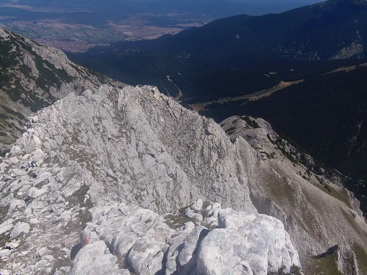
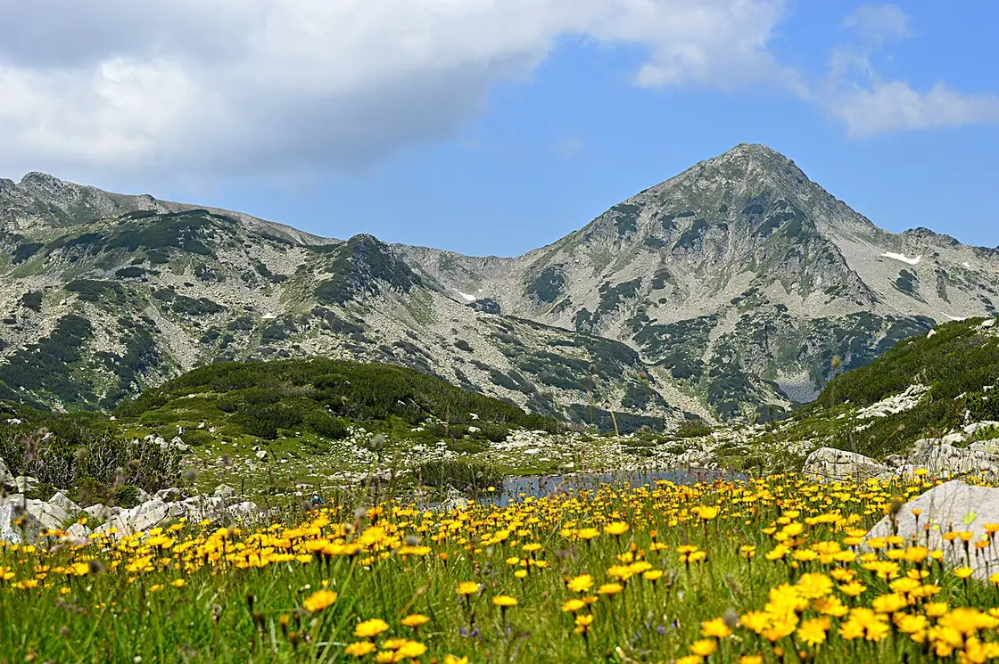
The lakes are why people book the second night. The cirques hold water that stays cold through August, and the classic circuits from the Bunderitsa/Vihren side and from Bezbog are day-length walks rather than expeditions. Vihren itself, at 2,914 m, is Bulgaria’s second-highest peak. From Vihren hut the summit push is two and a half to four hours one way for about 960 m of ascent, exposed and hands-on near the top - a long day, and plenty of walkers turn back when the exposure bites.
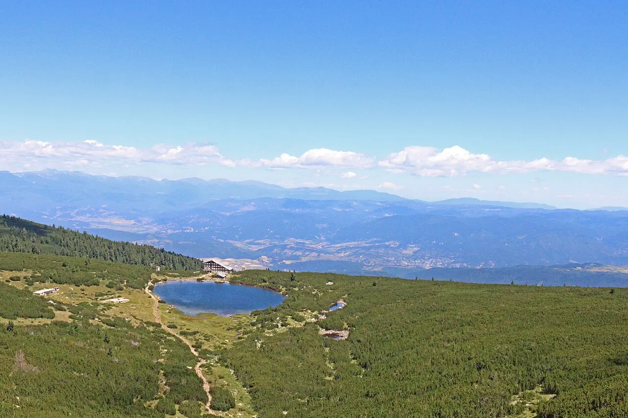
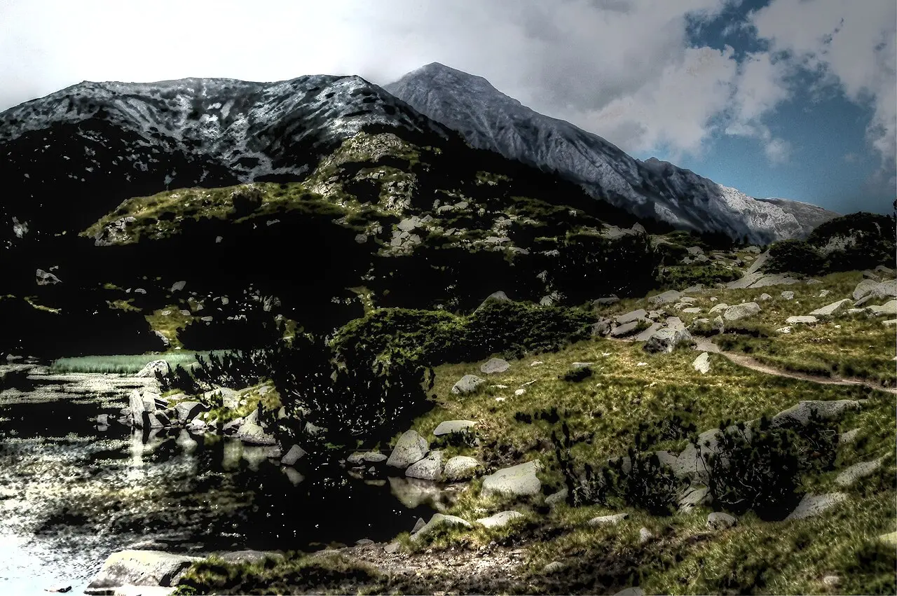
High trails usually shed winter snow from about mid-June and can take early falls from October. The reliable core for Vihren and the upper lakes is July through early September, which is also the window the summer road order covers - so transport and trail ambition have to be planned together, not separately.
Visitor centres, huts and the numbers worth having
The park’s visitor information centre in Bansko is at ul. Pirin 104, open Monday to Friday 09:00-12:30 and 13:00-17:30, closed at weekends, phone 0884 323 245. The Sandanski centre works by prior appointment, 09:00-17:00, on 0899 866 423. Between them they’re where you get a paper map and a current answer on trail and road conditions - worth ten minutes, because phone signal dies in the deeper cirques and a screenshot is only as good as your battery.
Hut nights need booking ahead in July and August, and the reliable way is a phone call rather than a form: huts answer the phone and often ignore email. Vihren hut (1,951 m, a marked E4 stop) takes bookings on +359 899 890 442; Yavorov hut on 0896 688 414; the Tevno Lake shelter, high on the traverse, on 0886 39 72 68, and in winter only by prior arrangement.
One to know before you plan around it: Bunderitsa hut is temporarily closed for major renovation. The Bulgarian Tourist Union register and the hut’s own site both say so, and neither publishes a reopening date - so don’t build a Bansko-side route around a bed there. No hut in the range publishes a bed price either; carry cash, because card readers depend on a signal that isn’t there. Kitchens serve simple hot food when the hut is staffed, so confirm it’s open that week before you plan a summit day around a meal at the top.
Dial 112 in an emergency. Bulgaria’s mountain rescue service works these ranges and will come for you regardless - the question a policy answers is who pays for the helicopter and the hospital afterwards, which in the mountains gets expensive quickly. Our Bulgaria travel insurance guide covers the hiking and rescue clauses and what a standard policy leaves out.
Carry water and a hard shell even when the valley looks hot. Above the treeline the wind strips heat fast, and afternoon storms build against the rock walls with little warning. Tell someone in town which trail number you intend to walk.
Where to sleep and how to arrive
Most walkers base in Bansko and day-trip to trailheads: it’s practical, well stocked and noisy in peak weeks, so book beds that match your start time rather than the cheapest rate going. Dobrinishte suits the Bezbog side and is quieter. Sandanski and the southern valleys work for longer south-to-north routes and put you within reach of the wine country.
Getting there is a two-leg trip whichever way you come. From Sofia it’s about 160 km to Bansko - bus at roughly 10 to 15 EUR in two and a half to three hours, or an airport shuttle at 25 to 45 EUR; the detail is in Sofia to Bansko. From Plovdiv it’s about 150 km, with a cheap afternoon bus at 7 to 8 EUR and the narrow-gauge railway as the scenic alternative - see Plovdiv to Bansko. Once you’re in town, the park starts where the asphalt thins and the colour marks begin, and the Bunderitsa valley road is the one the closure order applies to.
Southern approaches open toward the wine country: after a hard ridge day, Melnik is the small-town reset at the edge of the massif. If you’re stitching a longer mountain week, pair a Pirin lake circuit with a quieter Rhodope day afterwards. What doesn’t work is treating the park as a short add-on to a ski holiday without checking snowmelt and the current road notice: the hiking calendar is shorter than the marketing season for beds in Bansko.
Read also

What to see · 12 min read
Climbing Musala: The Balkans' Highest Peak
Verified · August 29, 2026Climbing Musala, the Balkans' highest peak at 2,925 m: the Yastrebets gondola schedule and price, the real hiking time from the top station, huts and gear.

What to see · 9 min read
Learning to Ski in Bansko: Schools & Lessons
Verified · August 25, 2026Bansko ski lessons: group and private prices in euros from official schools, Banderishka Polyana base, plus the lift pass you still need. Checked 2026.

What to see · 10 min read
Borovets or Pamporovo: Honest Ski Comparison
Verified · August 30, 2026Borovets and Pamporovo cost almost the same to ski. The real split is Sofia versus Plovdiv, and how much mountain you want for the week.

What to see · 9 min read
Bansko or Pamporovo: Which Ski Resort Suits You?
Verified · August 13, 2026Bansko for the bigger Pirin mountain near Sofia; Pamporovo for gentle Rhodope runs near Plovdiv. Pass prices, terrain and who each resort suits in 2026.